Advertisement

Grand Theft Auto Shanghai? Chinese scientists build a super virtual city – for police

A hyperrealistic rendering of China’s largest city may look like a video game setting, but it has a much more serious purpose
Reading Time:2 minutes
Why you can trust SCMP
4
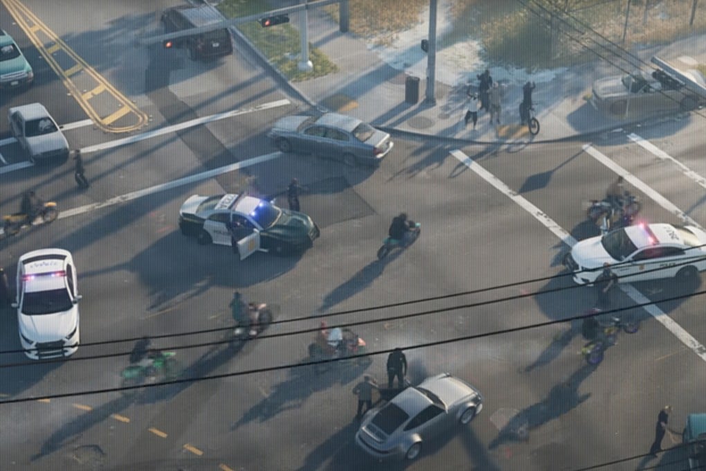
A virtual version of Shanghai, accurate down to the last manhole cover, may be reminiscent of hit game Grand Theft Auto VI, pictured, but is helping police patrol the city. Photo: Rockstar Games
Stephen Chenin Beijing
As the gaming world eagerly awaits Grand Theft Auto VI, rumoured to allow players to enter over 40 per cent of its virtual buildings, scientists in Shanghai have quietly achieved something far more ambitious: a hyperrealistic digital twin of China’s largest metropolis, built not for role-playing criminals but for policing.

With an accuracy of under 3cm (1.2 inches), this “virtual Shanghai” enables officers to navigate every street, scan interior layouts of skyscrapers and even access real-time data such as property occupancy records – all through a mobile terminal.

Developed by the Shanghai Surveying and Mapping Institute and the Ministry of Natural Resources’ key lab for megacity data analytics, the system combines airborne laser scans, street-level lidar (light detection and ranging), and AI-powered 3D modelling to recreate the city down to individual bedrooms and fire hydrants.

Patrol officers can now “enter” buildings virtually, viewing floor plans, tenant registries and utility lines – a capability that blurs the line between physical and digital realms, according to the project team led by government engineer Zeng Lingfang in a peer-reviewed paper published this month in the Chinese-language Journal of Geomatics.

Built by Chinese scientists, the virtual version of Shanghai has been created using vehicles, drones and backpack-mounted sensors to map the city. Photo: Shanghai Surveying and Mapping Institute
During emergencies, metropolitan police headquarters can overlay live surveillance feeds, vehicle movements and heat maps onto the virtual city, orchestrating responses with surgical precision, according to Zeng and her colleagues.

Every alley, every flat, even every manhole cover is mirrored, the researchers said.

Advertisement