China unveils global maps of Mars based on Tianwen-1 orbiter photos
- The colour-coded maps will add to our knowledge of the red planet and improve planning for future missions, says Chinese space agency
- The panoramic images are compiled from 14,757 photos obtained during the country’s first independent mission to the planet
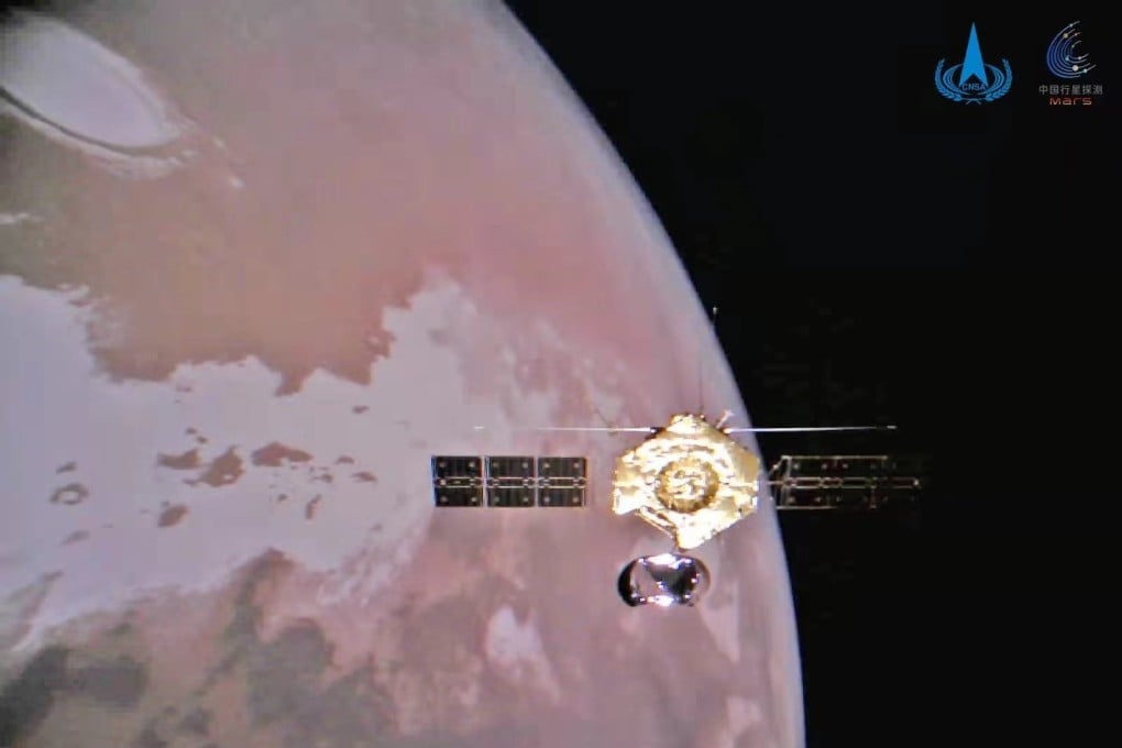
The panoramic images were compiled from 14,757 photos obtained by the Tianwen-1 orbiter’s moderate resolution imaging camera between November 2021 and July 2022, according to the China National Space Administration (CNSA).
The maps will add to our knowledge of the red planet and improve planning for future missions, including China’s Tianwen-3 mission to return samples from Mars, the CNSA said during a ceremony to celebrate Space Day of China in the southeastern city of Hefei.
The images have also helped scientists identify many geographical features near the landing site, 22 of which were named after places in China by the International Astronomical Union.

After entering Martian orbit in February 2021, the spacecraft photographed preselected landing areas in Utopia Planitia, a large plain, and helped with the successful touchdown of a lander and a rover three months later.